
I found a stunning set of maps of Wuhan scanned at Stanford. This came shortly after I started to use AllMaps and ArcGIS Pro to keep track of iiif maps that I find of my cities.
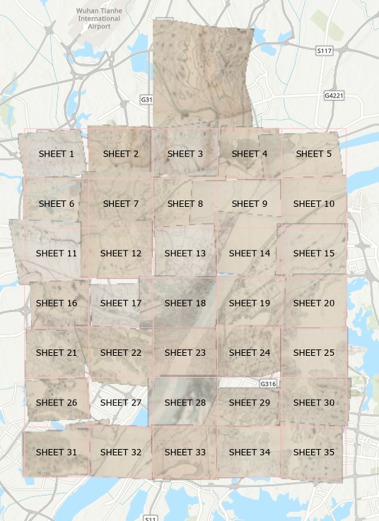
The technique works nicely, except that there seems to be a lag between editing the georeferencing on AllMaps and having the image adjust itself afterwards in ArcGIS. In this image, sheet #2 (row 1, column 2) draws in both its previous incorrect position, as well as its correct slot. On the other hand, sheet #27 (second row from the bottom, also column 2), at this scale, draws only in its incorrect position. Advice on the web is slim. ArGIS Pro is supposed to have a flushable cache, but that doesn’t seem to change anything.
Overview of 35 georeferenced maps of Wuhan, 1938
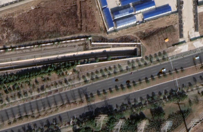
At the same time, visual comparison of contemporary imagery versus the 1930s map is striking. The rail infrastructure of Wuhan has gone through 2 complete generations. The first filled in sometime after this map was created. In the 21st century, the high-speed rails got built on top of many of the original locations, but also strike through previously undeveloped or agricultural lands. Below, a tunnel entrance near a metro maintenance facility is evidence of the cut-and-cover subway line below the road.
Subway tunnel entrance. Google Maps base
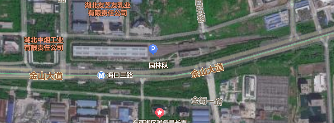
Baidu Ditu overlay of same area showing subway line #3
Leave a Reply